
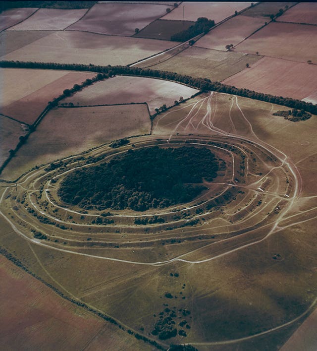
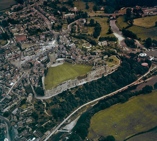
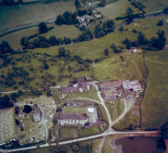
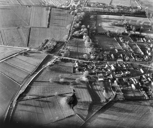
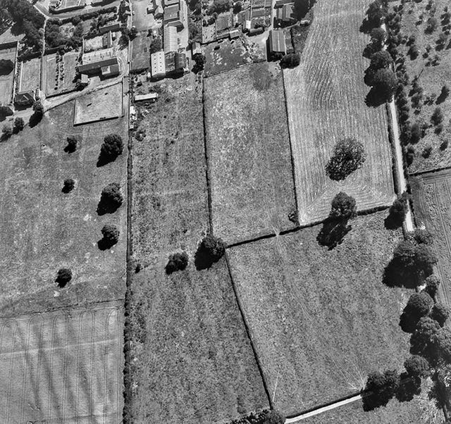
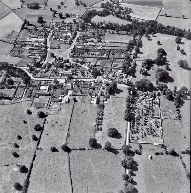
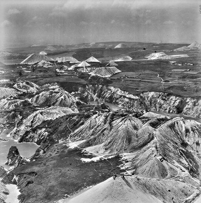
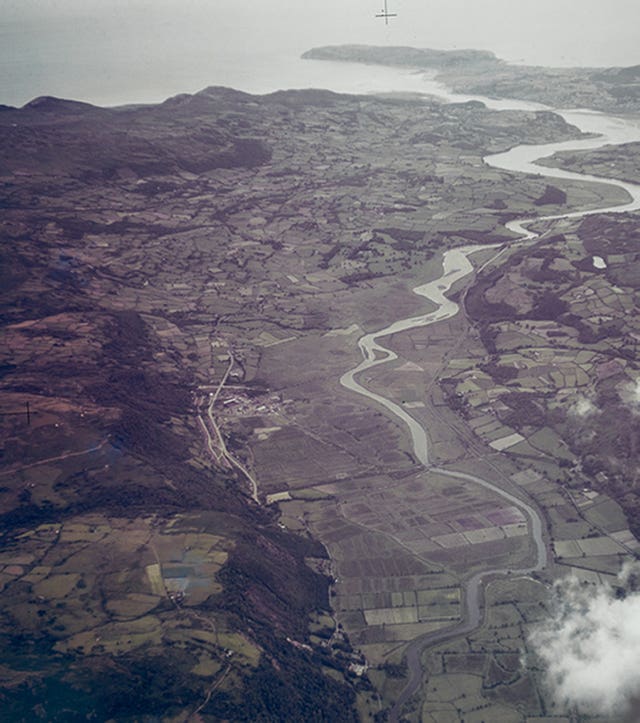
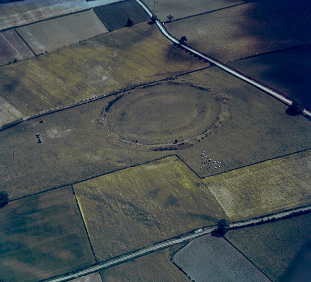
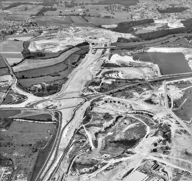
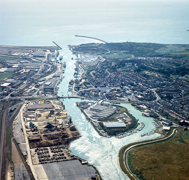
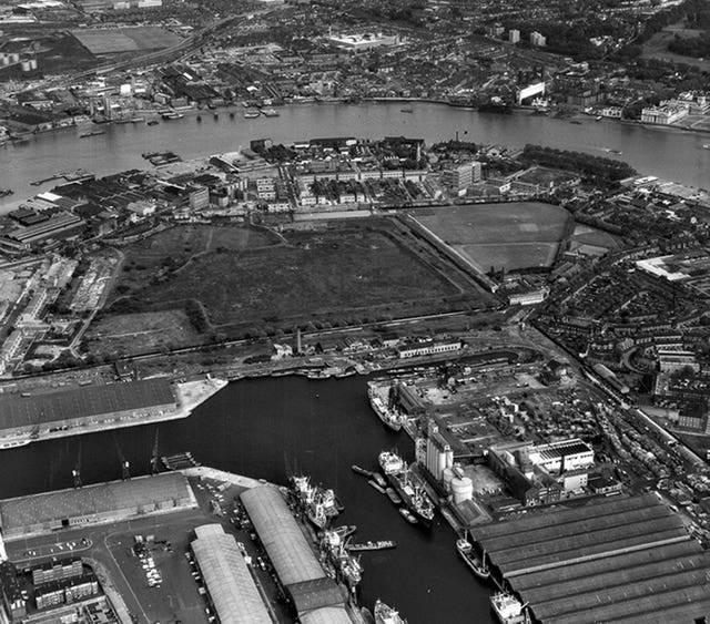
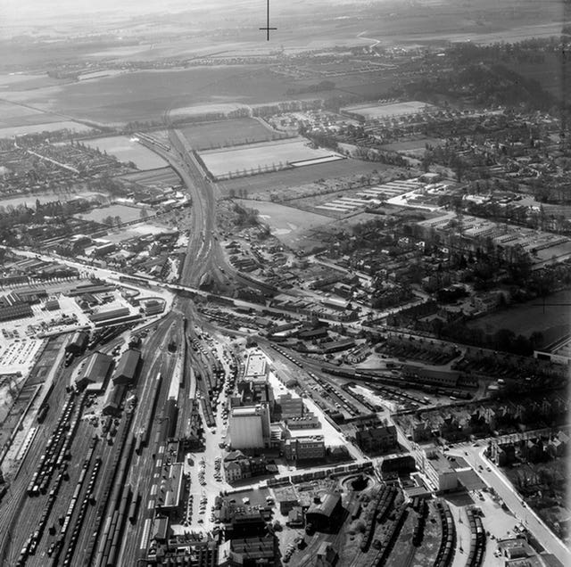
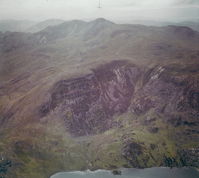
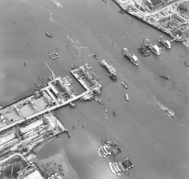
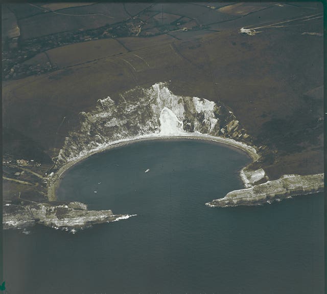
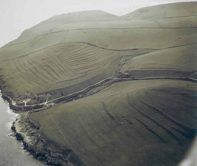
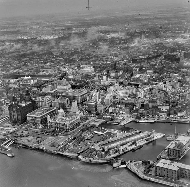
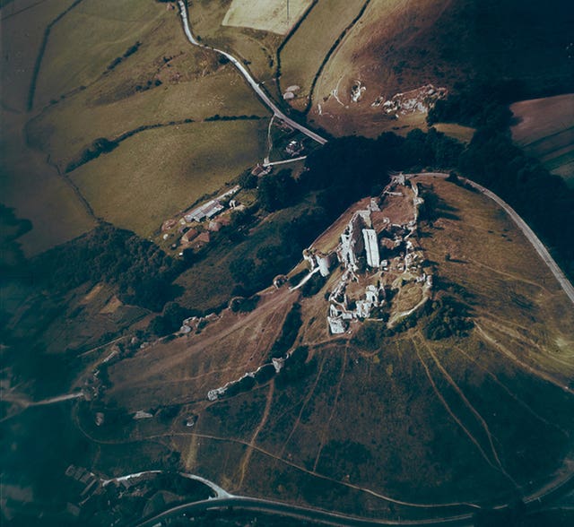
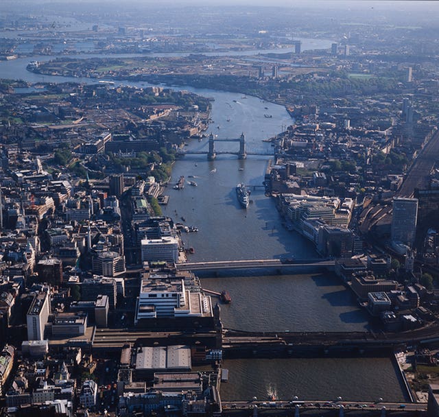
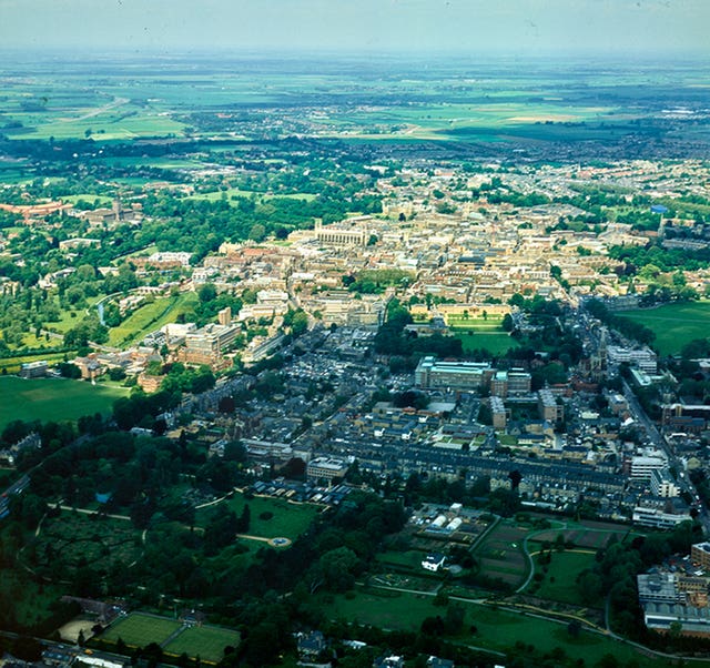
Aerial photograph made available online
Cambridge University has made a collection of aerial photographs available online. The Digital Library collection, described as the “historical Google Earth”, shows the changes in the built environment over the years since 1945.


Comments: Our rules
We want our comments to be a lively and valuable part of our community - a place where readers can debate and engage with the most important local issues. The ability to comment on our stories is a privilege, not a right, however, and that privilege may be withdrawn if it is abused or misused.
Please report any comments that break our rules.
Read the rules here