

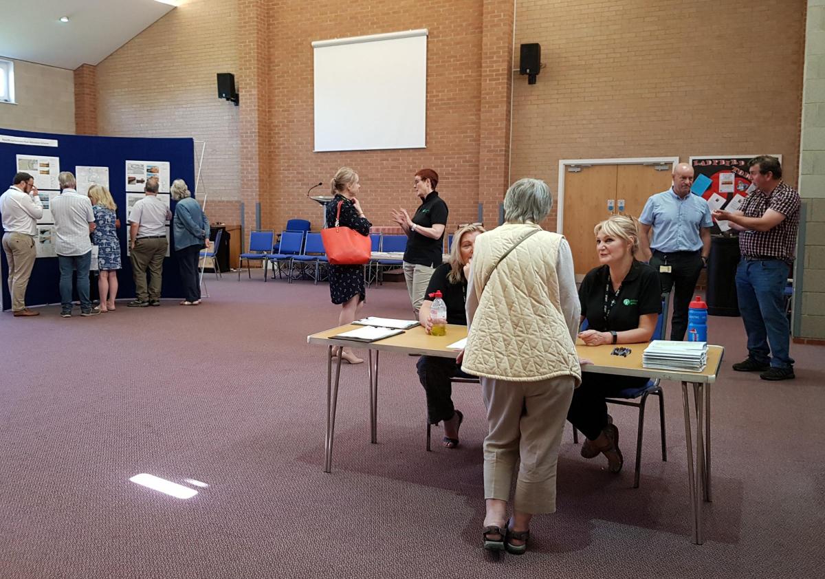
MEMBERS of the public have been given their first glimpse at plans for the main phase of a £40million flood defence scheme.
A series of defences and flood barriers, including sheet pile walls and earth embankments, are due to be installed along a stretch of the River Irwell to protect homes and businesses in the event of future flooding.
At a consultation meeting, residents had the chance to have their say on the draft proposals for the second phase of the Radcliffe and Redvales scheme — which have been drawn up by the Environment Agency (EA), working in partnership with Bury Council.
The proposals are due to be submitted to the council's planning department for consideration in September this year.
This phase of the plans is expected to protect about 760 properties, and complements work that is soon to start to protect about 90 properties in the Close Park area of Radcliffe.
Mildred McManus, aged 81 of Kendal Drive, who was flooded on Boxing Day 2015, said: "I just have to hope that these defences will work. I was out of my home for seven months; the water came in three feet high.
"They are only just starting building at Close Park. We really want to see these put in place as soon as possible."
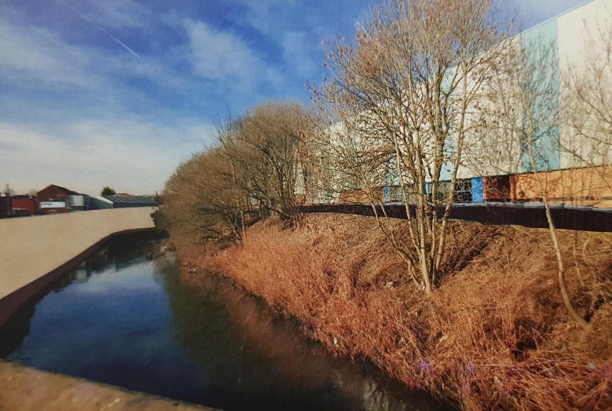
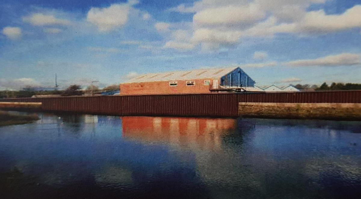
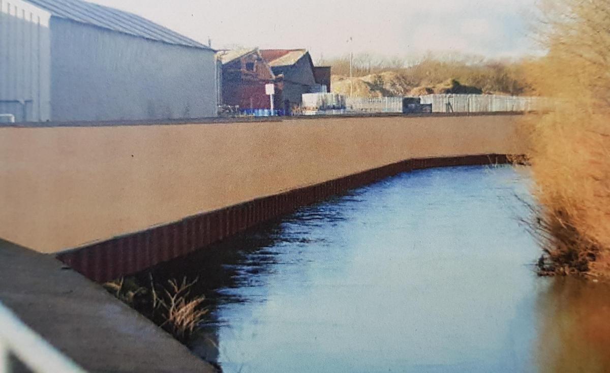
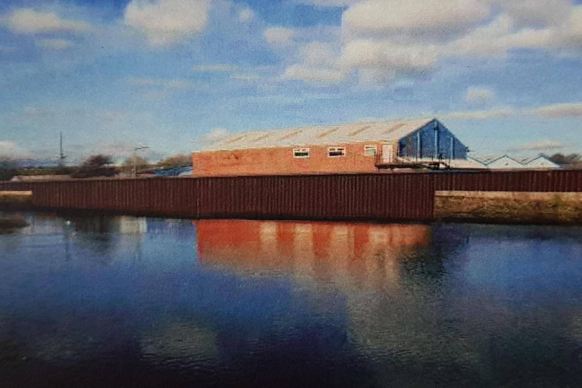
Current drawings show that a continuous section of wall would be built on the left bank of the Irwell at Redvales industrial park, as well as near Warth Road and Keswick Drive.
An earth embankment could be built, running parallel to the Metrolink line behind Bury Church of England High School, the Derby High School and Warth Road area. A wetland habitat could be incorporated into the designs at Lower Hinds.
Resident Kathleen Owen, of Inglewhite Close, Bury, said: "We feel that the plans for the industrial side of the river at Wharf would be a real improvement visually.
"Plans for a wetland are really promising but they should fill in the two tunnels under the Metrolink to prevent bikers going onto the land.
"The proposals take away the anxiety that you feel every time it rains."
Defence walls could also be built around the river-facing perimeter of Swan Lodge.
The height of Hardy’s Gate bridge parapet may need to be risen — this option has been favoured over original plans which involved rebuilding the entire bridge.
Andy Cameron, Senior Flood Risk Management Advisor at the EA, said: “It has been good to show people how the scheme is progressing.
“Once plans are submitted, it becomes a lot harder to change them, so we are really encouraging people to come forward and speak with us.”
He added: “We are trying our best to keep the height of the defences at a level where people can see over them.
“In some places, the walls could be 2m or slightly higher, and that is because we are really limited on where we can fit the defences in this phase of the scheme; we are having to work around the positioning of buildings and the river.”
The EA has been working alongside landowners, business owners and developers to produce the designs. For example, they have been consulting with Pin Property Consultancy, who are behind plans for 200 houses and a warehouse at land off York Street, about constructing a defence wall around the land.
The £40million scheme has been long-awaited for residents in Radcliffe and Redvales, where some 670 homes were flooded in 2015 when the River Irwell burst its banks.
Cllr Alan Quinn, Bury Council's cabinet member for the environment, said: "We put our case to Thérèse Coffey, Parliamentary Under Secretary of State for the Environment, in March last year over a funding shortfall for this scheme.
"That money gave us the chance to get the scheme we wanted. It is what is needed and what is deserved.
"These defences will bring peace of mind for residents."
To have your say on the plans, email RadcliffeRedvales.frms@environment-agency.org.uk


Comments: Our rules
We want our comments to be a lively and valuable part of our community - a place where readers can debate and engage with the most important local issues. The ability to comment on our stories is a privilege, not a right, however, and that privilege may be withdrawn if it is abused or misused.
Please report any comments that break our rules.
Read the rules hereLast Updated:
Report this comment Cancel